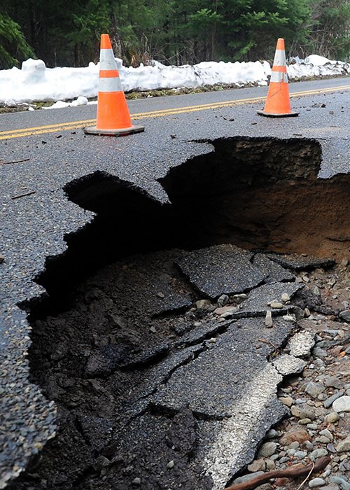
The third edition of the “Report on hydrogeological instability in Italy: hazards and risk indicators (Edition 2021)”, the publication with which ISPRA provides an updated reference framework on the risk of landslides and floods, coastal erosion and risk indicators related to population, households, buildings, businesses and cultural heritage, was presented yesterday.
According to the data reported, 18.4% (55,609 km2) of national territory is classified as having a high to very high risk of landslides and/or medium hydrologic hazard. Compared to the 2018 edition, there has been a 3.8% increase in the area classified as at high and very high landslide risk and an 18.9% increase in the area classified as at medium hydrologic risk, due not so much to a worsening of conditions as compared to previous years, but rather to more detailed studies, which have highlighted critical situations that had previously escaped detection.
Indeed, 94% of Italian municipalities are at risk of hydrogeological instability and coastal erosion, a total of 7,423. Again, there has been an increase in this figure, which is reflected both in areas potentially prone to landslides (+4% compared to 2017) and in areas prone to flooding (+19%). Overall, 8 million Italians live in particularly vulnerable areas. More specifically, more than 540,000 families and 1.3 million Italians live in areas at risk of landslides. The flood risk, on the other hand, affects about 3 million households, or 6.8 million inhabitants. At the top of the list of regions with the highest population at risk of landslides and floods are Emilia-Romagna (almost 3 million), Tuscany (over 1 million), Campania (over 580,000), Veneto (almost 575,000), Lombardy (over 475,000) and Liguria (over 366,000). Moreover, out of a total of more than 14.5 million buildings, those in high and very high landslide risk areas total more than 565,000 (3.9% of the total), while those in flood hazard areas number more than 1.5 million (i.e. more than 10% of all buildings).
A new indicator on structural aggregates at risk of landslides is presented in the report. There are over 84,000 industrial and service companies located in areas with high and very high landslide risks with 220,000 employees exposed to danger; over 640,000 (13.4% of the total) are exposed to flood hazard in the medium term. The report also contains an estimate of cultural assets at risk from landslides and floods. Of the more than 213,000 architectural, monumental and archaeological assets, there are over 12,500 potentially subject to landslides in high and very high risk areas; these increase to 38,000 if we also consider low risk areas.


