How much will sea levels have risen in cities by 2150?
16 August 2021
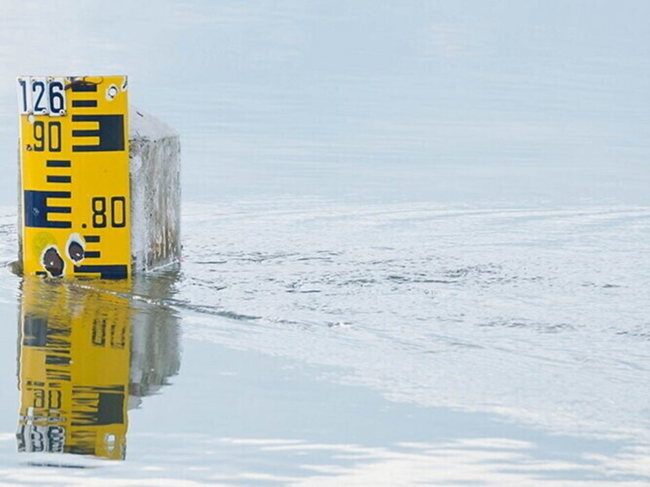

In 2150, the coasts and the landscape around them will differ considerably from those we know today. Some islands, well-known beaches and art cities, such as Venice, will be flooded by the sea, because its level is rising due to the melting of ice caused by climate change. How much they will be flooded is revealed by the Sea level projection tool, a new interactive tool created by NASA, developed by cross-referencing data collected by the U.S. Space Agency and the IPCC, the intergovernmental panel of scientists who study climate change and whose sixth report has recently been published. This is an interactive map that, for the first time, allows everyone to find out the projected sea level rise from 2020 to 2150, simply by setting the reference decade and the scenario among those provided by the IPCC report. The aim of this tool is to publicise the latest climate knowledge produced by IPCC and NASA scientists in an accessible, easily understandable and usable way, while maintaining scientific precision.
Even in the best-case scenario, the world’s coastlines will be completely changed within a few decades, and rising sea levels will put people at risk as well as, in many cases, the environmental and cultural heritage, and of course the economy, since many of the destinations that will be wiped off the map live off tourism. This tool may therefore be a necessary starting point not only to increase awareness of what will happen but also to make decisions to contain the rise of the sea level.
Even in the best-case scenario, the world’s coastlines will be completely changed within a few decades, and rising sea levels will put people at risk as well as, in many cases, the environmental and cultural heritage, and of course the economy, since many of the destinations that will be wiped off the map live off tourism. This tool may therefore be a necessary starting point not only to increase awareness of what will happen but also to make decisions to contain the rise of the sea level.